
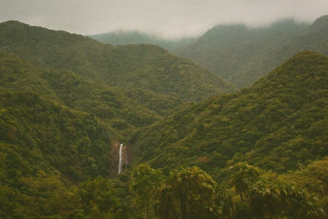
Taipei sits in a basin, which is a polite way of saying the heat comes in and does not leave. By mid-July the city is holding onto warmth overnight, the pavement is radiating it back at you by nine in the morning, and the instinct is to go somewhere, anywhere, that is not this. The mistake is assuming that any trip out of the city counts. Plenty do not. Drive an hour to another low-lying town and you have swapped one hot place for a hot place with fewer trains.
Cooler is not a mood, it is physics. There are only four things within reach of Taipei that reliably drop the temperature: getting higher, getting to the wind, getting under a canopy, and getting next to moving water. Once you know which one a place is offering, you can predict how it will feel before you go, and you stop wasting a Saturday.
Elevation: the one that always works
Height is the most dependable of the four because it does not depend on weather or luck. Qingtiangang on Yangmingshan sits at roughly 770m, which puts it about 5°C below whatever Taipei is doing, and because it is an open grassland plateau the wind moves across it constantly. On a 36°C city day it can feel like low thirties with a breeze, which is the difference between unpleasant and fine.
Getting there without a car is straightforward. Take the MRT to Jiantan and pick up bus 小15 to Qingtiangang, or come up through Yangmingshan bus station from Beitou. Allow about an hour from central Taipei. The honest caveat: Qingtiangang is grassland, not forest, so there is almost no shade. It is cooler and windier, but you are still standing in direct sun. Go early, go late, or bring the hat. If you want shade with your elevation, the Lengshuikeng and Menghuan Pond trails nearby give you tree cover and are a short hop on the same bus.
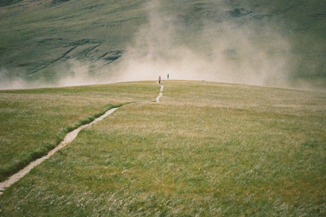
 FIRST SIGHTWEBGLAt around 770m, Qingtiangang runs roughly 5°C below the basin, and the wind across the open grassland does the rest. · Color and grain by First Sight · Portra 400. · First Sight 色彩與顆粒調校 · Portra 400
Forest and moving water: Wulai
Wulai is only about 200m up, so elevation is doing very little here. What is doing the work is the combination of a steep forested valley and a large volume of cold water running through it. Dense canopy blocks the sun before it reaches the ground, and evaporation off the river pulls heat out of the air directly. Standing on a rock in the shade with your feet in the stream is a different climate from the road one hundred metres away.
Take the MRT to Xindian and get bus 849 from outside the station. It is about forty minutes up the valley and runs frequently. The honest caveat: the old street is the least interesting part of Wulai in summer, and on weekends it is shoulder to shoulder. The cool is upstream and off the main drag. Walk past the shops, follow the river, and the temperature and the crowd both drop within ten minutes. Skip the hot springs in July unless you enjoy irony.
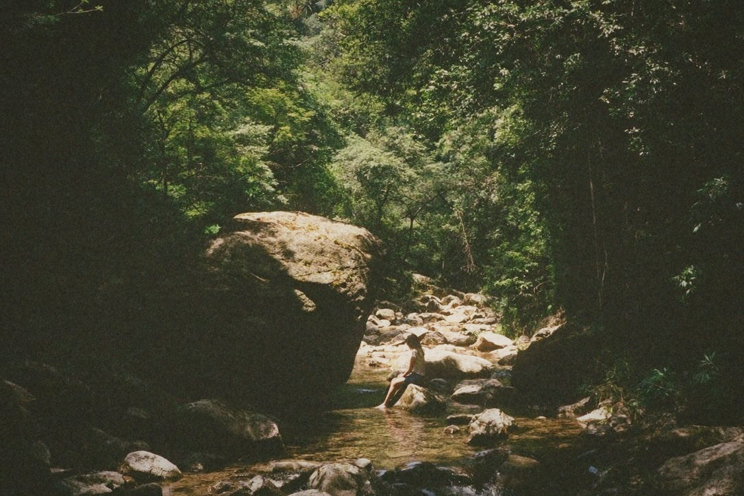 FIRST SIGHTWEBGLWulai barely gains any elevation. The canopy and the cold river do the cooling instead. · Color and grain by First Sight · Portra 400. · First Sight 色彩與顆粒調校 · Portra 400
Sea wind: Fulong and the old Caoling tunnel
The northeast coast is the best summer trip out of Taipei that most people underuse, and the reason is wind. Onshore breeze comes off the water more or less constantly, and unlike a mountain it does not require you to climb anything. Fulong is about an hour and a half from Taipei Main on a local train, and the beach is right there when you step off.
The genuine standout is the old Caoling tunnel. It is a decommissioned rail tunnel, a little over 2km long, converted into a flat cycling path, and the inside sits at a stable cool temperature all year because it is deep rock with air moving through it. Riding into it on a 35°C day is the single most dramatic temperature change available on a day trip from Taipei. Rent a bike outside Fulong station, ride the tunnel, come out on the Yilan side to sea views, and loop back along the coast.
The honest caveat: this is a popular route, so weekend mornings mean queues for bikes and a slow-moving tunnel. Go on a weekday if you can, or start before nine. And the beach itself charges admission at the main managed section, which surprises people.
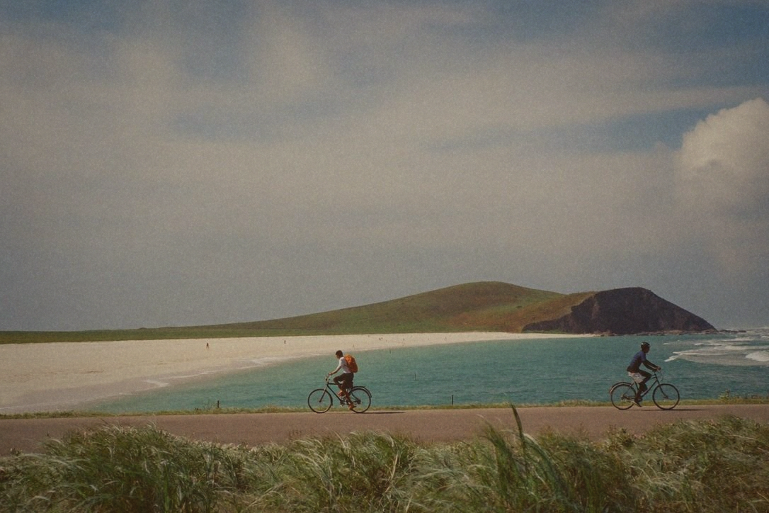 FIRST SIGHTWEBGLThe northeast coast gives you constant onshore wind, and the old Caoling tunnel stays cool year round because it is deep rock. · Color and grain by First Sight · Portra 400. · First Sight 色彩與顆粒調校 · Portra 400
Valley towns: Pingxi and Shifen, with a caveat
The Pingxi line is a lovely half day and a genuinely pretty ride, but be clear about what it is and is not. These are narrow green valleys at low elevation, so the shade and the damp air help a little, and the temperature drop is modest rather than dramatic. Come for the scenery and the walking, not because you expect to feel five degrees cooler.
Take a train to Ruifang and change to the Pingxi branch line. The honest caveat: Shifen in the middle of the day is dense with lantern crowds, and it is the hottest, most exposed stop on the line. The quieter stations either side, Wanggu and Lingjiao, put you straight into trees and water with a fraction of the people. Get off one stop early and the whole trip improves.
If you have a car: the real altitude
Everything above is reachable on public transport. If you can drive, the numbers change completely. Taipingshan in Yilan sits around 2,000m, which is a drop of roughly 12°C from the basin, in genuine cloud forest. Lalashan in Taoyuan is around 1,500m with ancient cypress and deep shade. Both are long days, three hours or so each way on mountain roads, and both are a different order of cool from anything on the MRT map. Treat them as a full day out, not an afternoon.
One to skip in peak summer: Shimen Reservoir. It is pleasant, it is close, and it is at low elevation with a lot of open water and open pavement. The lake looks like it should be cooling and it mostly is not. Go in autumn instead.
The typhoon-season asterisk
July through September is also typhoon season, and every trip on this list is affected differently. Mountain roads close first and reopen last, because of landslide risk rather than wind. The northeast coast gets dangerous surf well before the storm arrives, sometimes days ahead under a distant system. River valleys like Wulai carry a real flash-flood risk, and water can rise fast in clear weather if it is raining upstream. Check the Central Weather Administration before you commit, and if there is a sea warning up, take the low-elevation option or stay in town.
What to actually bring
More water than feels reasonable, because the mountain stops sell less than you expect and close earlier. A light layer for the tunnel and for Taipingshan, where the drop is big enough to feel cold in a wet t-shirt. Proper shoes for anything involving river rocks, which are slick even when they look dry. Sun cover for the exposed grassland stops. And an EasyCard with enough on it for buses, which do not all take cash cleanly.
Frequently Asked
Some links in this article are affiliate links. If you purchase through them,OQUA may earn a small commission at no extra cost to you. This helps support our editorial work. We only link to products and services we genuinely reference in our writing.
Comments (0)
Loading comments...